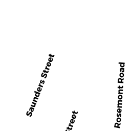
12 ROSEMONT RD
Owner Information
LEVINE FRANK & GUERRERO
12 ROSEMONT RD
WEYMOUTH, MA 02191


Property Details
12 ROSEMONT RD is classified as a Two-Family Residential (Conventional).
The primary structure on this property was built in 1923. There are 1,716ft2 of built area within this property. There is 1,716ft2 of residential/living space within this property. This property is listed as having 8 rooms. There are 2 units within this property.
12 ROSEMONT RD is valued at $439,100. The land is valued at $174,900 and the structures are valued at $259,200. There is an additional valuation of $5,000 on this property.
The most recent deed for 12 ROSEMONT RD is recorded at the local registrar in Book 30960, Page 512. 12 ROSEMONT RD was last sold on Friday, January 25, 2013 for $322,000.
Assessment data from fiscal year 2022.
Flood Data
According to the FEMA National Flood Hazard Layer, this property does not appear to be in a flood zone. It may also be in an area not yet reviewed. Nonetheless, confirm this information prior to taking any action.
To view the flood hazards around this property, create a FEMA "Firmette" Map of the area around 12 ROSEMONT RD.
Broadband Internet Providers
| Provider | Type | Bandwidth (mbps) | |
|---|---|---|---|
| VSAT Systems, LLC. | Satellite | 2 | 1 |
| Verizon New England Inc. | DSL | 7 | 0 |
| Viasat Inc | Satellite | 100 | 3 |
| GCI Communication Corp. | Satellite | 0 | 0 |
| Comcast | Cable | 1000 | 35 |
| HughesNet | Satellite | 25 | 3 |
Broadband service provider data from December 2020.
Adjacent Properties
- 17 SHERWOOD RD
Single Family Residential owned by DAVIDSON MARY J & JAMES - 16--18 ROSEMONT RD
Two-Family Residential owned by SCHWENZFEIER BRUCE J - 15 SHERWOOD RD
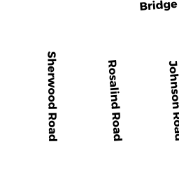
Single Family Residential owned by HUANG ZHONGRONG & HUANG - 191-E BRIDGE ST
Residential Condominium owned by DANG THUY THANH - 191-A BRIDGE ST
Residential Condominium owned by DIXON PATRICIA T - 191-B BRIDGE ST
Residential Condominium owned by PETROU JOHN NICHOLAS - 191-C BRIDGE ST
Residential Condominium owned by STAWSKI LUKASZ & SZRETER - 191-D BRIDGE ST
Residential Condominium owned by CHEUNG SAMANTHA HANG-SHEUNG & - 191-F BRIDGE ST
Residential Condominium owned by TOLING LOPE CLYDE & CINDY L - 191-G BRIDGE ST
Residential Condominium owned by WEISINGER SHERYL F & BERGIN - 191-H BRIDGE ST
Residential Condominium owned by GOYAL AKASH & JAIN NAMRATA